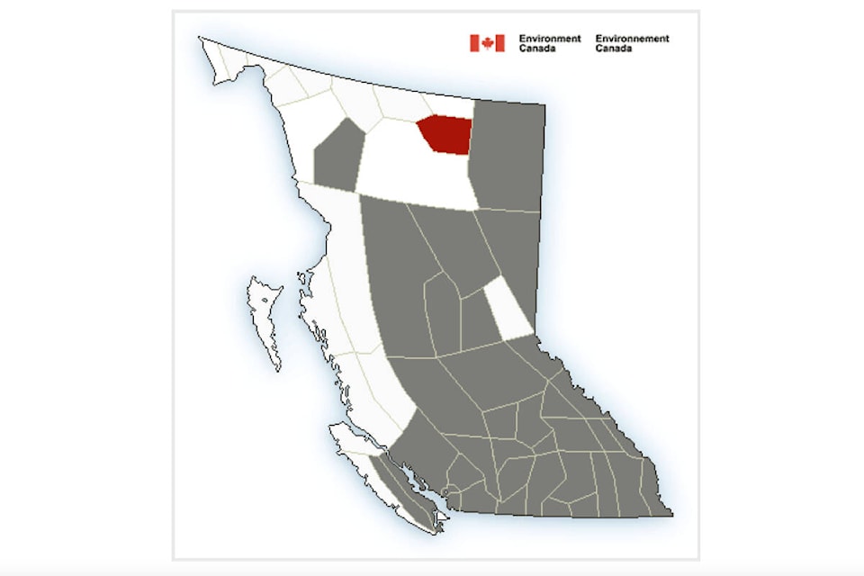
Environment Canada has issued a special weather statement for much of B.C. including all of the Cariboo and Chilcotin, as the first hot stretch of summer is expected, beginning on the weekend.
The warning comes after an unseasonably cooler, wet spring in the Cariboo Chilcotin and was issued early Wednesday morning (June 22).
On Saturday (June 25), temperatures will reach into the upper 20C’s. For the remainder of the weekend and early next week, temperatures will rise into the low to mid 30C’s. Overnight lows will fall to the mid-teens, noted Environment Canada..
With elevated temperatures, the risk of heat related illnesses increase as well as an increase in snowmelt and snowpack instability, noted Environment Canada. Increased stream flows due to run-off are possible.
Temperatures are expected to return to near-normal values by the middle of next week as a cooler, unsettled airmass pushes onshore.
Last summer, a heat dome caused the deaths of nearly 600 residents in B.C., prompting the provincial government to launch a heat alert system this year. The system will have two levels: warning and extreme heat emergencies.
For the month of June Williams Lake has already seen 79.7 mm of rainfall, with an intense storm Thursday, June 16 that brought 18 mm of rain in a few hours and caused temporary flooding in parts of the city and surrounding areas. On June 18, 19 mm of rain was recorded.
Read More: B.C. launches heat alert system following 2021’s deadly heat dome
Do you have a comment about this story? email:
editor@wltribune.com
Like us on Facebook and follow us on Twitter.